
Hartford County Postal Places, ZIP by ZIP
The Connecticut Secretary of the State post-office list supplies the official postal-place examples below. Areas Covered and Post Office repeat its labels. They orient a Hartford County ZIP code directory, not every street assignment.
| ZIP | Areas Covered | Post Office | Notes |
|---|---|---|---|
| 06001 | Avon | Avon | Verify the full address |
| 06002 | Bloomfield | Bloomfield | Verify the full address |
| 06010 | Bristol | Bristol | Verify the full address |
| 06013 | Burlington and Unionville | Burlington and Unionville | Postal-place example |
| 06016, 06088 | Broad Brook and East Windsor | Broad Brook and East Windsor | Postal-place examples |
| 06019, 06020, 06059 | Canton, Canton Center, and North Canton | Canton, Canton Center, and North Canton | Postal-place examples |
| 06023, 06037 | East Berlin and Berlin | East Berlin and Berlin | Postal-place examples |
| 06026 | East Granby | East Granby | Verify the full address |
| 06025 | East Glastonbury | East Glastonbury | Verify the full address |
| 06027 | East Hartland | East Hartland | Verify the full address |
| 06082 | Enfield | Enfield | Verify the full address |
| 06032 | Farmington | Farmington | Verify the full address |
| 06033, 06073 | Glastonbury and South Glastonbury | Glastonbury and South Glastonbury | Postal-place examples |
| 06035, 06060, 06090 | Granby, North Granby, and West Granby | Granby, North Granby, and West Granby | Postal-place examples |
| 06040, 06042, 06043, 06045 | Manchester | Manchester | Several listed codes |
| 06050, 06051, 06052, 06053 | New Britain | New Britain | Several listed codes |
| 06111 | Newington | Newington | Verify the full address |
| 06062 | Plainville | Plainville | Verify the full address |
| 06067 | Rocky Hill | Rocky Hill | Verify the full address |
| 06070, 06092 | Simsbury and West Simsbury | Simsbury and West Simsbury | Postal-place examples |
| 06074 | South Windsor | South Windsor | Verify the full address |
| 06078, 06093 | Suffield and West Suffield | Suffield and West Suffield | Postal-place examples |
| 06081 | Tariffville | Tariffville | Verify the full address |
| 06095 | Windsor | Windsor | Verify the full address |
| 06096 | Windsor Locks | Windsor Locks | Verify the full address |
| 06101, 06103, 06105, 06106, 06107, 06110, 06112, 06114, 06117, 06118, 06119, 06120 | Hartford city and branches | Hartford city and branches | Branch and route caveat |
| 06108 | East Hartford | East Hartford | Verify the full address |
| 06107, 06110, 06117, 06119 | West Hartford and central Hartford postal routes | West Hartford and central Hartford | Exact delivery must be checked |
Postal labels such as Broad Brook, Unionville, North Canton, and West Granby sit beside town names. Hartford also has branch codes. The exact street and unit decide the result.
Note: A postal-place example identifies delivery geography, not a complete list of Hartford County streets, households, or legal town boundaries.
USPS Fields Behind a Hartford County ZIP
USPS treats a ZIP as a delivery-area construct. It guides mail, not parcels, voter districts, deeds, or identity. A preferred city name may differ from local speech. USPS does not confirm a person or business at an address.
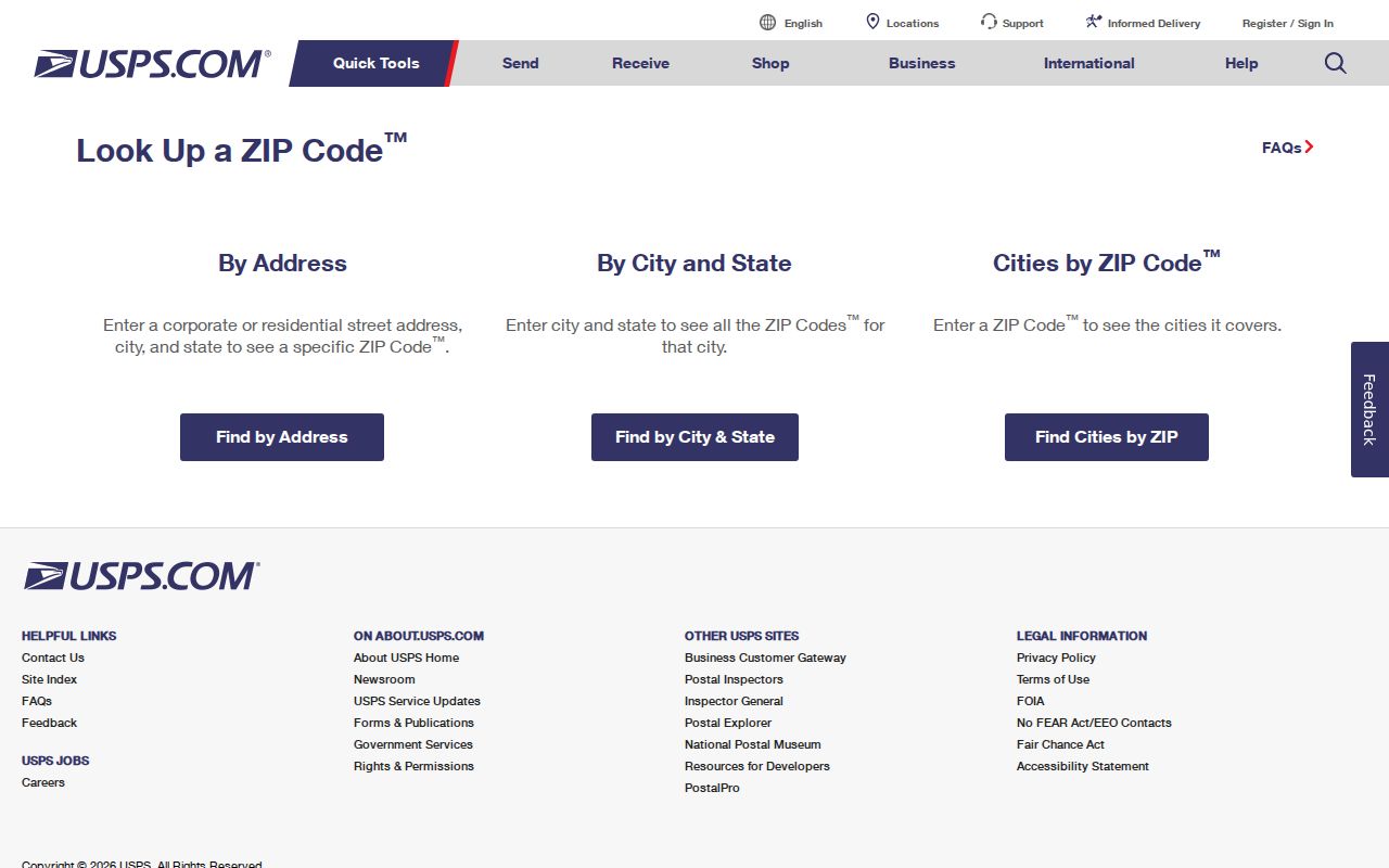
The official USPS ZIP Code Lookup presents By Address, By City and State, and Cities by ZIP Code. By Address is the best first check when a unit or street line is known.
Enter the address as USPS expects, save the postal output, then send the legal town to the right clerk or assessor.
| USPS mode | Fields or purpose |
|---|---|
| By Address | Company, optional; Street Address, required; Apt/Suite/Other, optional; City; State; ZIP Code; Find. |
| By City and State | Searches the named postal place and state for associated codes. |
| Cities by ZIP Code | Shows postal places associated with a code. |
Search Hartford County Residents by ZIP
A ZIP-keyed search should move through sources with distinct roles. Hartford assessor is city-only; GIS searches parcel, owner, or address; Accela accepts address and ZIP; court takes five digits; voter starts with town.
- Run the full street address, unit, city, and state through USPS. Keep the standardized result and legal municipality separate.
- For Hartford, check the Hartford Assessor search by street, number, owner, or parcel. For another county town, use its assessor and clerk.
- Use the Hartford GIS Property Viewer by parcel, owner, or address; record the layer and access date.
- Use Accela with address, unit, city, state, and ZIP for a permit, license, or municipal application.
- Use court or voter tools only for their stated record type. A ZIP result is a lead, not a roster.
If a portal is thin, follow the record to its custodian. Hartford assessor, GIS, planning and permit staff, town clerk, registrar, and court clerk answer counter, phone, mail, or email questions. The Connecticut Freedom of Information Act covers defined non-exempt maps, permits, or datasets. Hartford Public Library and the State Library help with older maps; SOTS handles a written voter-file request; court staff can verify an entry.
After narrowing to a street, the Hartford County by-street address directory can take the parcel search further. Keep the postal code as delivery data.
Hartford Accela Fields Add Permit Context
Hartford Development Services sends public applications and municipal records to Hartford Accela General Search. The portal is not a resident list, but its address fields can test whether a ZIP is tied to a permit or license record.
The Accela screen offers General Search, Search by Address, Licensed Professional, Record Information, Trade Name, and Contact modes.
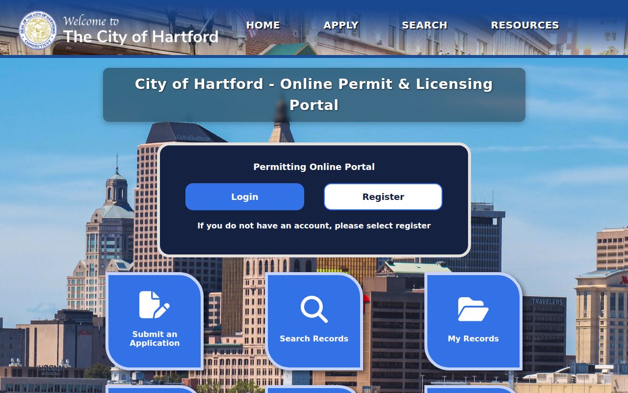
The general form provides Search All Records, Record Number, Record Type, Start Date, End Date, License Type, State License Number, First Name, Last Name, Name of Business, Business License Number, Parcel Number, Street Number, Street Name, Street Type, Unit Number, City, State, and ZIP, with Search and Clear controls. A public search needs no login; an account is needed to submit or track an application.
Pair postal fields with record type and date. Building, demolition, electrical, fire suppression, mechanical, plumbing, additions, new construction, pools, solar, and temporary-structure records describe regulated work. They connect an address to a record, not every person or occupant.
Connecticut Court Searches Need Five-Digit ZIPs
The Connecticut civil property-address search requires case type and city or town, then street, full five-digit ZIP, property type, and active, disposed, or all cases. It covers foreclosure matters after January 1, 2014, with record-specific limits.
Do not enter ZIP+4 in that field. Keep it in the USPS note, but send five digits to court. A result is a case index, not a deed or resident list. Note docket and party fields; ask the Hartford Judicial District clerk when online access is incomplete. Federal cases use PACER.
Note: Court town, postal city, and parcel municipality can point to related places while remaining separate search fields.
Hartford County Town Lines Meet Postal Routes
Hartford County is geographic, not a local records office. Connecticut towns hold land, vital, election, assessor, permit, and historical records. Nearby Hartford, East Hartford, and West Hartford routes send requests to different clerks. Postal place aids delivery; situs town controls the record path.
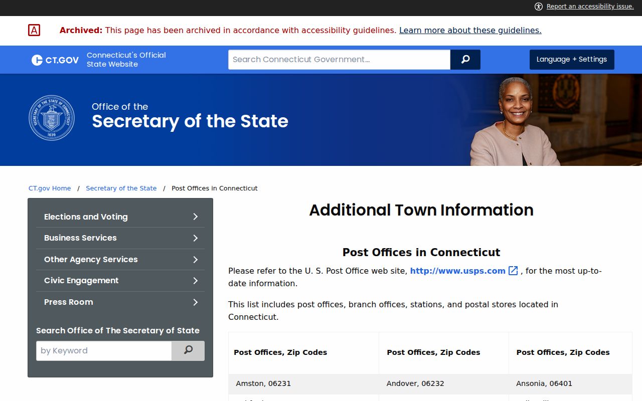
The Connecticut post-office and ZIP list supplies the table's official examples. It lists East Hartford at 06108, Hartford branches across 061 codes, and West Hartford routes at 06107, 06110, 06117, and 06119. Nearby labels do not merge town offices.
USPS decides a street and unit. For records, write the legal town from the parcel or event, then add the standardized postal line.
Hartford County Parcel and Voter ZIP Clues
Parcel and voter sources answer different questions. The Hartford assessor separates situs, owner, mailing address, parcel, and legal reference. Its 1 Main St Unit N1 sample has parcel 248-555-060, One McLeod Real Estate Investment Group LLC as owner, Woodland Drive as mailing address, and legal reference 08200 0287. A Woodland Drive match does not prove residence at Main Street.
| Layer | Useful fields | What the result means |
|---|---|---|
| USPS delivery | Street, unit, city, state, ZIP | Mail standardization and postal place, not identity. |
| Assessor and GIS | Parcel, owner name, situs address, map layers | Taxable parcel and map context, not a complete occupant list. |
| Accela | Parcel, street, unit, city, state, ZIP, record type and dates | Municipal application or permit context. |
| Voter lookup | Town, last name, first name, full DOB in MM/DD/YYYY | Limited registration lookup, not a ZIP-wide residence file. |
The Connecticut voter tool asks for town, name, and full DOB, not ZIP. The statewide file requires a written request, costs $300, and has use limits. ACP can protect addresses, and registration is not proof of current residence. Keep voter town, parcel municipality, and postal city separate.
Hartford lists October 1, 2026 as its next revaluation after October 1, 2021. Values can change while a parcel remains, so save the Grand List or access date.
Hartford County PO Boxes and Branch ZIPs
PO-box, branch, unique, and institution codes may not cover a broad street area. A PO-box-only ZIP may not match a parcel; a branch may name the facility; a unique ZIP may identify one organization.
The dated USPS active ZIP and delivery-area reference helps identify active-code information, but a current exact-address lookup should control the final answer.
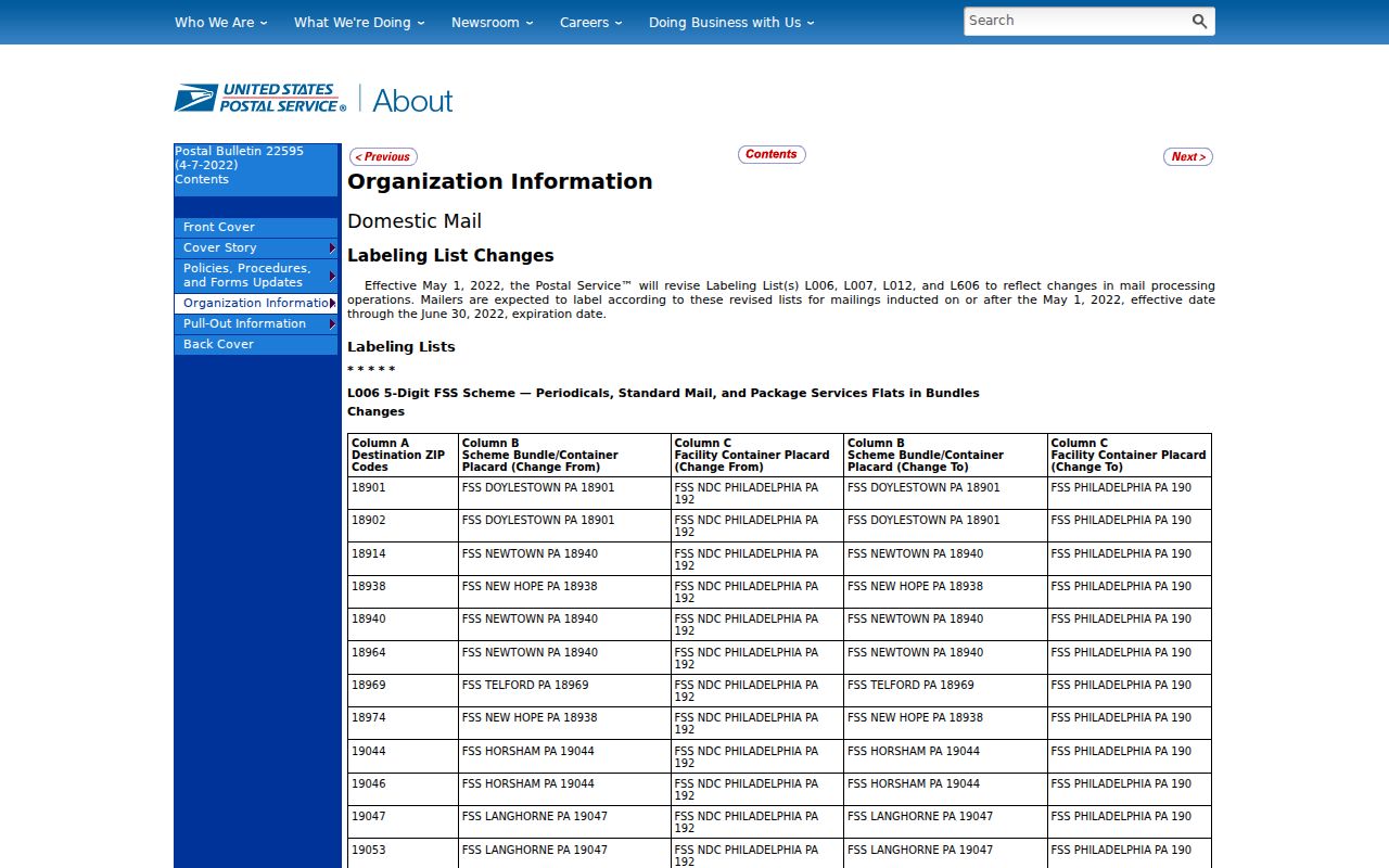
The reference is dated, not a household roster. No single current official table was found for every Hartford County street, PO-box, branch, and unique code. If a list and live address disagree, save both, recheck USPS, and ask the post office or town custodian.
Note: Missing ZIP coverage in a countywide table is a research gap, not evidence that an address has no postal assignment.
Hartford County ZIP Research Dates
Postal, parcel, court, voter, and civic maps do not share one update cycle. The USPS ZIP Code basics explain that ZIP+4 adds delivery precision and that a preferred city name can differ from a local place name. Keep the five-digit ZIP for broad routing, the extra four digits for delivery detail, and the legal town for records.
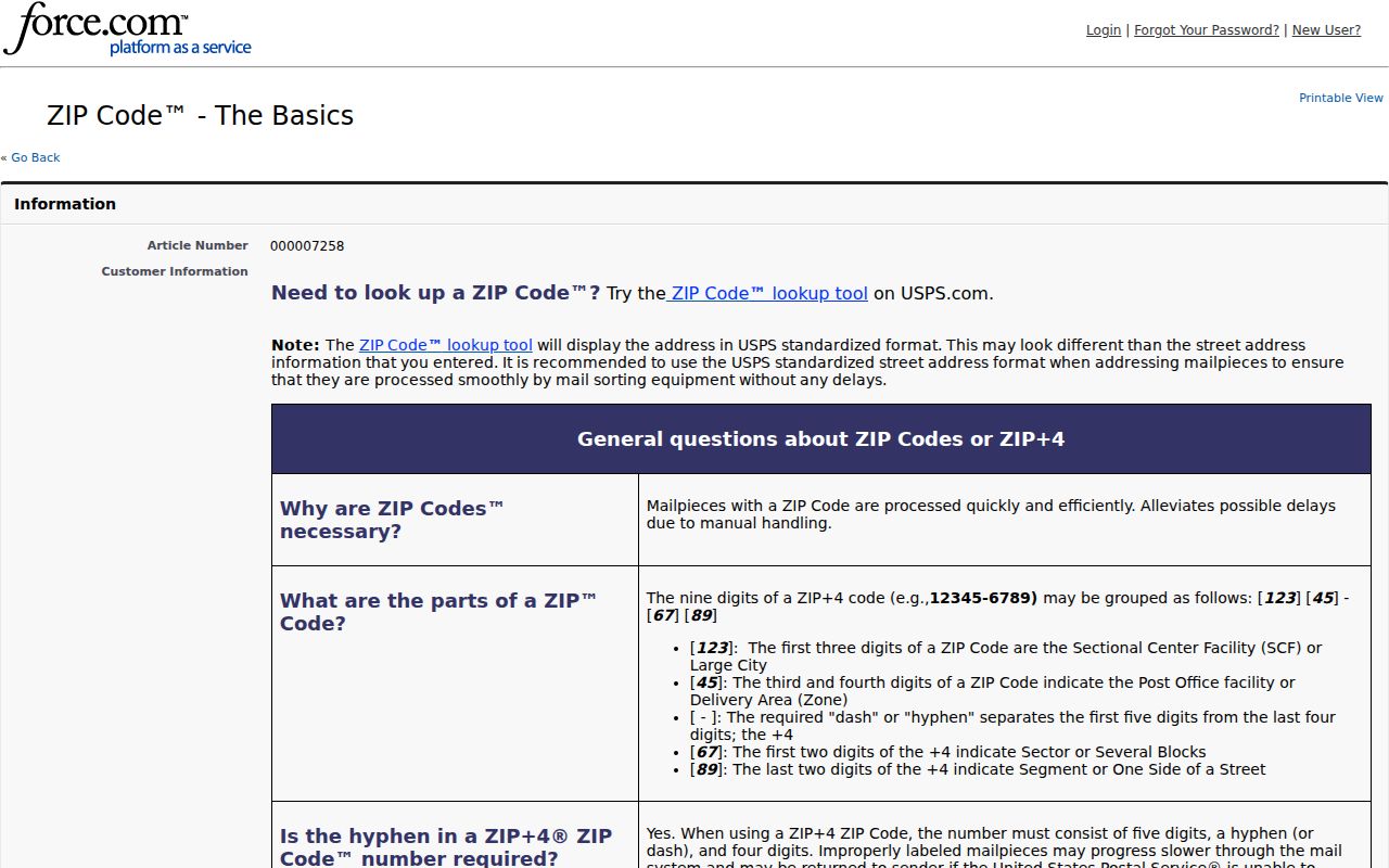
The basics reference supplies the delivery frame for the terms below, which should stay separate from legal town fields.
- ZIP
- A five-digit USPS delivery-area code.
- ZIP+4
- Four added digits that bring more precision to delivery routing.
- PO-box ZIP
- A code used for post-office box service rather than a broad street area.
- Unique ZIP
- A code assigned to one institution or organization instead of a general neighborhood.
- Carrier route
- A USPS delivery route within the larger postal system, not a legal town boundary.
TotalVote GIS note: The July 10, 2026 announcement reports about 4,700 district-assignment updates, including about 1,600 voters in 171 sliver districts, before a planned December launch. It does not change USPS codes; it shows that voter GIS, parcels, postal routes, and town records need separate dates.
Note: Record the source date whenever a Hartford County ZIP, parcel, voter district, or assessment result will be used again.