
What Counts as a Hartford County Neighbor
A block lookup needs a stated boundary. A parcel neighbor touches the selected parcel or falls inside a defined GIS buffer. A civic neighbor shares a neighborhood, NRZ, voting district, or community-service area. A historical neighbor appears beside the address in a directory, Sanborn sheet, deed, newspaper, or archival map for a named year. The word neighbors changes meaning when the boundary changes.
| Source | What it shows about a block | Access |
|---|---|---|
| GIS Property Viewer | Parcel geometry, address points, buildings, owner fields, and map layers | Public viewer; layer and date notes needed |
| Abutters List Viewer | Adjacent or buffered parcels around a selected property | User-defined buffer in feet |
| Assessor and land index | Owner label, parcel reference, recorded parties, and legal instruments | Municipal portal, clerk, mail, or counter |
| NRZ and planning maps | Neighborhood planning and civic geography | Hartford Planning and Zoning tools |
| Voting and CSO maps | District assignment or liaison area | SOTS, city maps, and police community page |
| Directories and Sanborn | Historical block names, street segments, buildings, and uses | Library, archive, or established map collection |
Write the boundary in the first line of the research note. “Touching parcels within the viewer’s buffer as of the access date” is clear. “Everyone near this address” is not.
Use the Hartford GIS Abutters Viewer
Hartford GIS Property Viewer searches by parcel number, owner name, or address. The city describes an Abutters List Viewer that moves to a property and creates a user-defined buffer in feet. Start with one parcel, choose the distance, and record the parcel IDs or public owner fields returned. Do not widen a radius without changing the wording of the result.
The GIS page also points to FEMA flood mapping, tax maps, building and veranda lines, planning and zoning, historic districts, scanned documents, permits, inspector information, and abutter tools. Each layer answers a different question. A parcel line is not a voting line. An abutter list is not a list of people who live in the houses.
The Hartford GIS Property Viewer is the source for this parcel and abutters starting point.
Turn on Parcels, Address Points, and CAMA
A useful map stack begins with parcels, address points, roads, buildings, and CAMA. Add tax-map, zoning, historic, FEMA, voting, or NRZ layers only when they fit the question. The digital-data hub says Hartford maintains more than 60 datasets, including parcels with dimensions, acreage, labels, and address points; buildings; roads; vegetation; hydrography; sidewalks; parking; driveways; contours; and downloadable files.
Record the layer name, map date, selected parcel, address point, and any source link. If a map shows a building footprint but the assessor shows a condo unit, keep both facts and their meaning. GIS is powerful context, but the town clerk’s instrument remains the legal land record.
Map a Hartford Block From One Address
The block process is simple when each step has one job. Begin with the legal municipality and standardized address. Find the parcel in GIS. Set the buffer or choose touching parcels. Compare the public owner label with the assessor card. Add civic maps and permits only after the parcel set is fixed. Then use directories or Sanborn maps if the question reaches into history.
- Confirm the street, unit, postal city, ZIP, and legal town.
- Search parcel number, owner, or address in the Hartford viewer.
- Turn on parcels, address points, roads, buildings, and CAMA.
- Set and record a buffer distance, or state that only touching parcels were used.
- Check planning, voting, NRZ, CSO, permit, and historical layers as separate outputs.
- Write the result as parcel and civic context, not a household roster.
This process makes a block search repeatable and avoids a common false join: treating every person named in a nearby record as a neighbor today.
Hartford NRZ, Voting, and CSO Boundaries
Hartford Planning and Zoning links address tools, historic districts, NRZ resources, abutters, land use, FEMA, open data, and neighborhood planning. Its materials name areas including Asylum Hill, Blue Hills, Frog Hollow, North Frog Hollow, Maple Avenue Revitalization Group, and Parkville. These groups describe planning or civic areas, not a public list of households.
The Community Service Officer page organizes liaison coverage for Upper Blue Hills, Northeast, Upper Albany, Clay-Arsenal, Asylum Hill and West End, Parkville, Frog Hollow and South Green, Downtown, Sheldon-Charter Oak, Behind the Rocks, Barry Square, Southwest, and South End. A CSO area can guide a community contact or safety question. It does not establish that a person lives on a particular block.
Hartford Permits Around a Block
Accela offers General Search, Search by Address, Search by Licensed Professional Information, Search by Record Information, Search for Trade Name, and Search by Contact. Its fields include record number and type, dates, license data, names, business, parcel, street, unit, city, state, and ZIP. Building, demolition, electrical, fire suppression, mechanical, plumbing, additions, alterations, new construction, pools, solar, and temporary structures are among the record types described.
Use the parcel or address to find a public application, status, date, or project. An application is not proof of completion or occupancy. A scanned plan can show a building change. An inspector record can route a question. Neither should be used to publish a list of people around a block.
Historical Neighbors in Directories and Sanborns
Historical neighbors are tied to a year and source. Hartford’s 1799 directory uses landmarks and street segments. Gardner and Geer volumes run from 1838 to 1929. Reverse or criss-cross directories search by street and number. A Hartford Sanborn sheet from the 1922 to August 1950 run can show buildings, street names, block or house numbers, utilities, and uses. These sources can identify a nearby printed name or structure, but not current neighbors.
When a house number changed, pair the directory with a map and cite the translation. A business, boarding place, household head, or nearby landmark may appear. The entry should be reported as a dated historical association, not a continuous household claim.
ZIP and Postal City Do Not Define a Block
USPS delivery geography can use a preferred city name that differs from the legal municipality. Hartford, East Hartford, and West Hartford can share a county label or court search string while using separate parcel and voter offices. Verify the full address in USPS, then keep the postal city and legal town as distinct fields. A ZIP can narrow a permit or court search, but it does not set a parcel boundary.
A block note should include address, parcel, legal town, postal city, ZIP, map date, and any buffer. This makes it possible to explain a mismatch without deciding that one system is wrong.
Hartford Community Resources Without a Roster
The Hartford Family Resources Directory describes more than 350 organizations with contact, mission, type, and nine categories. Public libraries, NRZ plans, community-service officers, public meetings, and civic groups can help someone find a legitimate neighborhood contact or service. They are community resources, not private resident directories.
| Community layer | Useful question |
|---|---|
| Family Resources Directory | Which organization or service works in a neighborhood? |
| NRZ planning group | Which planning area or neighborhood plan covers the parcel? |
| CSO liaison area | Which community-service contact covers a broad area? |
| Library or archive | Which historical map, directory, or local file can explain the block? |
Use contact cards and public office routes rather than trying to reconstruct a membership list from scattered names.
Hartford Neighbor Tools Compared
Official map and record tools are not perfect, but their keeper, date, and fields are visible. Commercial neighbor-search tools may combine licensed, public, or uncertain data and can add cost or outdated matches. The safer comparison is purpose and provenance, not a name list.
| Source type | Strength | Limit |
|---|---|---|
| Municipal GIS and assessor | Parcel, address, layer, and owner fields tied to a public office | Owner is not occupant; data has an as-of date |
| Town clerk land record | Recorded instrument, parties, and legal reference | Does not show a household or continuous occupancy |
| Historical directory or map | Dated neighborhood and building context | Edition, OCR, numbering, and role limits |
| Commercial category | May combine several searchable clues | Source, accuracy, cost, and lawful-use limits can be unclear |
Hartford County Voting Geography Can Move
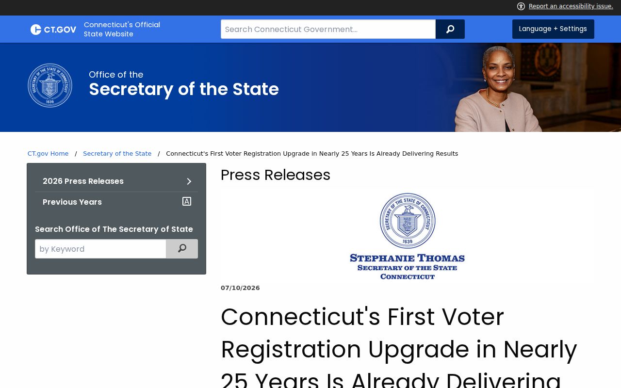
The Secretary of the State’s July 2026 TotalVote announcement describes a planned December launch after the first voter-registration-system upgrade in nearly 25 years. Testing found roughly 4,700 district-assignment updates, including about 1,600 voters in 171 sliver districts. GIS maps helped find address and district corrections. That update matters to a neighbor lookup because the voting layer can change while the parcel and street remain the same.
The Secretary of the State TotalVote announcement is the source for this dated district-update context.
Write “voting district as returned on the access date,” not “the permanent district for this person.”
Privacy Limits on Hartford County Neighbors
Safe at Home and the SOTS voter privacy process can suppress an actual address. FOI §1-217 protects certain officials’ residential information. Court, vital, police, and registry records carry separate redaction or safety rules. A missing address is not a reason to assemble one from secondary clues. If a result is wrong, contact the custodian and keep the reference number.
Lawful use. Hartford County neighbor research is for lawful personal, family-history, property, and civic purposes. Do not use parcel, map, voter, court, or registry information to stalk, harass, threaten, or harm anyone.
For a full named-street record chain, use the Hartford County by-street search. The block method here should end with a boundary, source date, visible fields, and a clear statement of what the map does not establish.